Preface

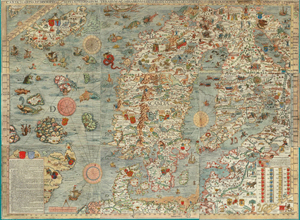
Norway’s (Scandinavia's) first resource map,
Olaus Magnus, 1539
The main objectives have been to identify safe and effective areas for long-term storage of CO2 and to avoid possible negative interference with ongoing and future petroleum activity. The atlas is based on knowledge from more than 40 years of petroleum activity and from the ongoing CO2 storage projects on the NCS (Sleipner and Snøhvit).
Valuable knowledge has also been gained through the Norwegian R&D and Demo project Climit, UNIS CO2 Lab and several large EU projects on storage and monitoring. Additionally, seismic data and results from exploration and production wells form an extensive database essential for the evaluation and documentation of geological storage prospectivity.
Geological formations have been individually assessed, and grouped into saline aquifers. The aquifers were evaluat- ed with regard to reservoir quality and presence of relevant sealing formations. Those aquifers that may have a relevant storage potential in terms of depth, capacity and injectivity have been considered. Structural maps and thickness maps of the geological formations presented in the atlas were used to calculate pore volumes.
Several studies of the CO2 storage potential in relevant aquifers, dry-drilled structures and mapped structures are hence provided, together with a summary of the CO2 stor- age potential in oil and gas fields. The potential for CO2 storage in enhanced oil recovery projects is also discussed.
The methodology applied for estimating storage capacity is based on previous assessments, but the storage efficiency factor has been assessed individually for each aquifer based on simplified reservoir simulation cases.
The assessed aquifers have been characterized according to guidelines developed for the CO2 Storage Atlas of the Norwegian North Sea (2011).
We hope that this study will fulfil the objective of pro- viding useful information for future exploration for CO2 storage sites. We have not attempted to assess the uncer- tainty range for storage capacities in this atlas, but we have made an effort to document the methods and main assumptions. The assessments described in this atlas will be accompanied by a GIS database (geographical information system). The database will be published on the NPD website www.npd.no.
Acknowledgements
This CO2 Storage Atlas has been developed by a team at the Norwegian Petroleum Directorate. The support from colleagues through discussions, and the support from the Ministry of Petroleum and Energy have been of great importance. Sincere thanks to Asbjørn Thon, Robert Williams, Dag Helliksen, Alexey Deryabin and Rune Mattingsdal (NPD) for constructive contributions. The Norwegian CO2 Storage Forum has contributed with its expertise in our meetings over the last four years. Arne Graue (University of Bergen), Ola Eiken (Statoil), Per Aagaard (University of Oslo), Erik Lindeberg (SINTEF), Svein Eggen (Climit/Gassnova), Rolf Birger Pedersen (University of Bergen), Mike Carpenter (DnV) and experts on well integrity from the Petroleum Safety Authorities have contributed with texts and figures to this atlas. AGR has contributed to the reservoir modeling related to CO2 storage, and GEUS has contributed to the North Sea Basin Geology.