The meteorite that crashed on Ritland
As a geologist with a career in the Directorate spanning more than 40 years, Fridtjof Riis has generally worked with geological strata deep under the seabed – but natives of Rogaland county know him best from a discovery he made on dry land – a genuine meteorite crater.
Today, the crater is a popular destination for hikers, both geologists and others.
In Norway, there are two such crater discoveries on land; Fridtjof Riis discovered the crater at Ritland in Hjelmeland, while the Gardnos crater is located in the municipality of Nesbyen in Buskerud county.
Took eight years to prove
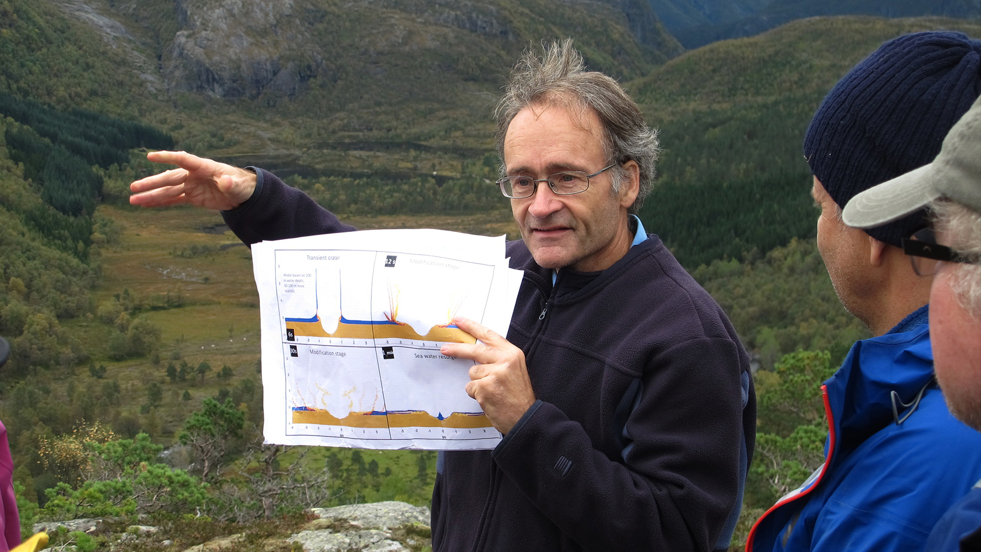
The landscape at Ritland is distinctive, and in the early 2000s, Riis launched the theory that the structure could be a meteorite crater. He’d spent a lot of time hiking around the area – and was surprised by what he saw and found in the ancient deposits.
“But we weren’t completely sure until in 2008, when microscopic evidence was found proving that the structure is an impact crater,” he explains.

The Ritland Crater in Hjelmeland.
More than 500 million years have passed since the gigantic meteorite crashed into the ground at Ritland with enormous force, creating a crater measuring 2700 metres across and around 350 metres deep.
“The proof of the structure came under the microscope, with the identification of so-called shocked quartz, which are quartz grains that are only formed under extremely high pressure. Near the earth’s surface, these grains only occur at meteorite impact sites.”
Lots of exciting things to see
There are exceptional exposed surfaces in the walls and the slide material, and the crater is also filled with alum shales and shallow marine sandstone with fossils.
“The sequence from the sub-Cambrian peneplain* to the Caledonian thrust nappes** is completely exposed along the trail east of the crater. Here you can see rocks that were flung out of the crater,” says Riis.
The Ritland structure is a place that is suited for studying crater geology, fossils, sedimentology and regional geology.
The main geological attraction is the structure itself, where even those who are not professional geologists can gain a good impression of what the original crater looked like, the forces in play when the bedrock was crushed in the impact, and the extent of the slide material from the edges of the crater.

The Peleplanet in the rock within the crater*.
Ritland was a shallow sea
When the meteorite struck, Ritland was a shallow sea with a few metres of clay on the bottom. The meteorite probably had a diameter of 100-150 metres, and came flying toward Earth at a speed of around 20 kilometres per second.
The energy released at impact caused the meteorite to evaporate entirely, leaving a crater with a diameter of 2.7 km and a depth of 350 metres. Bedrock throughout the area was shattered, and the temperature became so high that the bedrock in the impact area melted and was transformed into a very unique type of rock called suevite.
Great forces at work
Water and boulders were blasted out and tossed more than three kilometres outside the crater. After this, the crater first filled up with rocks and gravel that slid down the steep walls of the crater. Then came clay, sand and possibly other sediments.
The Caledonian mountains formed around 100 million years after the impact, and overlying mountains compressed the crater down to more than four kilometres below the surface. As a result of the heat and pressure at these depths, the clay was transformed into shale, the sand became sandstone and the broken bedrock turned to solid rock.

Microscope image of shock quartz.
Erosion
In a more recent geological perspective, rivers and glaciers have removed most of this overlay, and erosion has taken part of the crater’s edge and the slate inside the crater. The easternmost part of the crater has been preserved under the sediment rocks and the thrust nappes.
*Towards the end of prehistoric eras, in the Precambrian (around 600 million years ago), Scandinavia was situated on the Baltica, which at the time was a worn-down continent. The ancient surface of this continent is a plain called the sub-Cambrian peneplain, which can be seen as a distinct surface in the mountains outside the crater.
**The thrust nappes were formed when continents collided with continents, when huge rock masses are pushed forward ahead of mountain chains. Thrust nappes are located in the eastern part of the Caledonian mountain range, all the way from Jæren in the south to Magerøy in Finnmark.
Updated: 9/27/2024