Oil and gas discovery in the North Sea (15/3-13 S and 15/3-13 A)

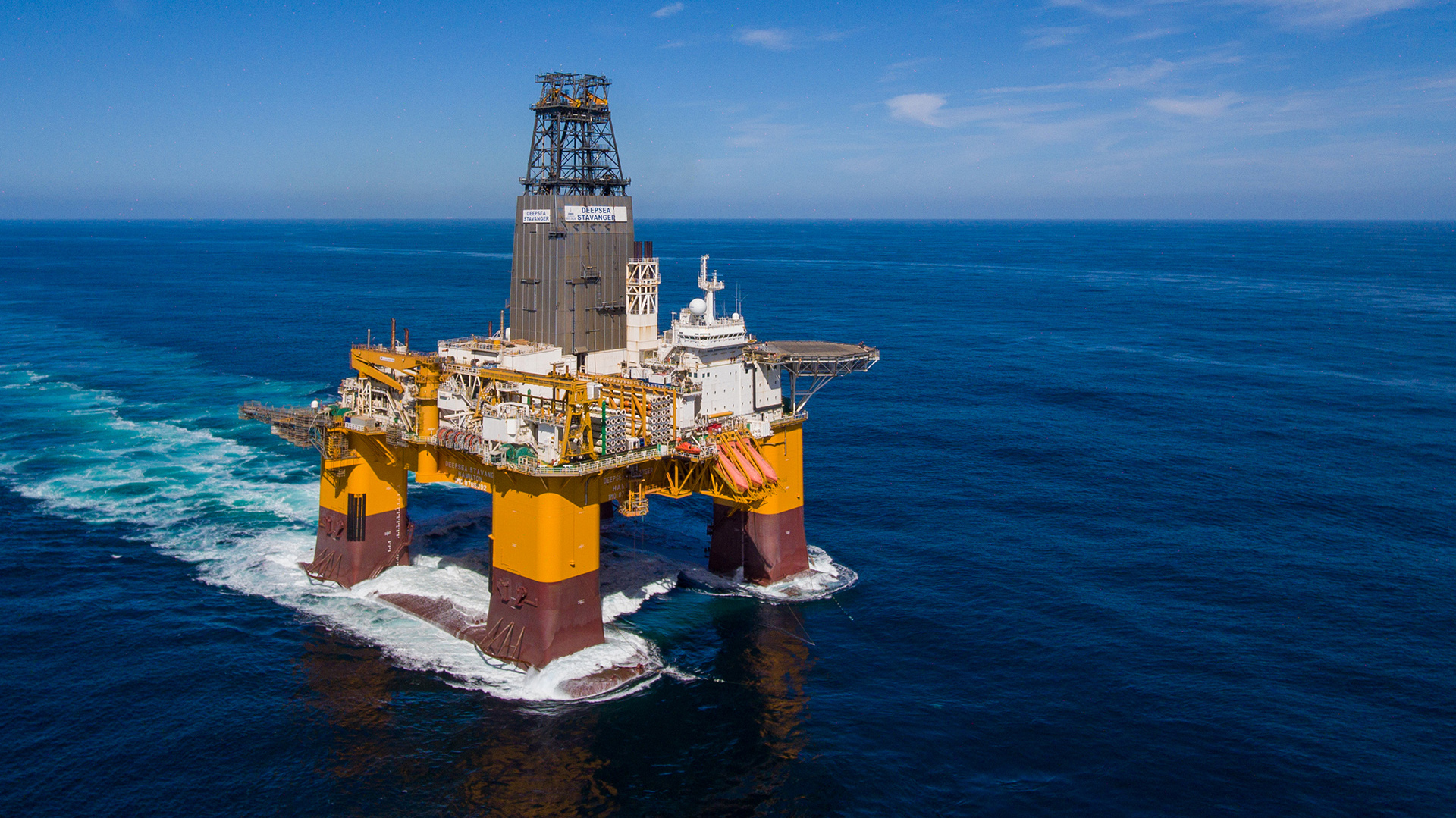
Deepsea Stavanger. Photo: Odfjell drilling.
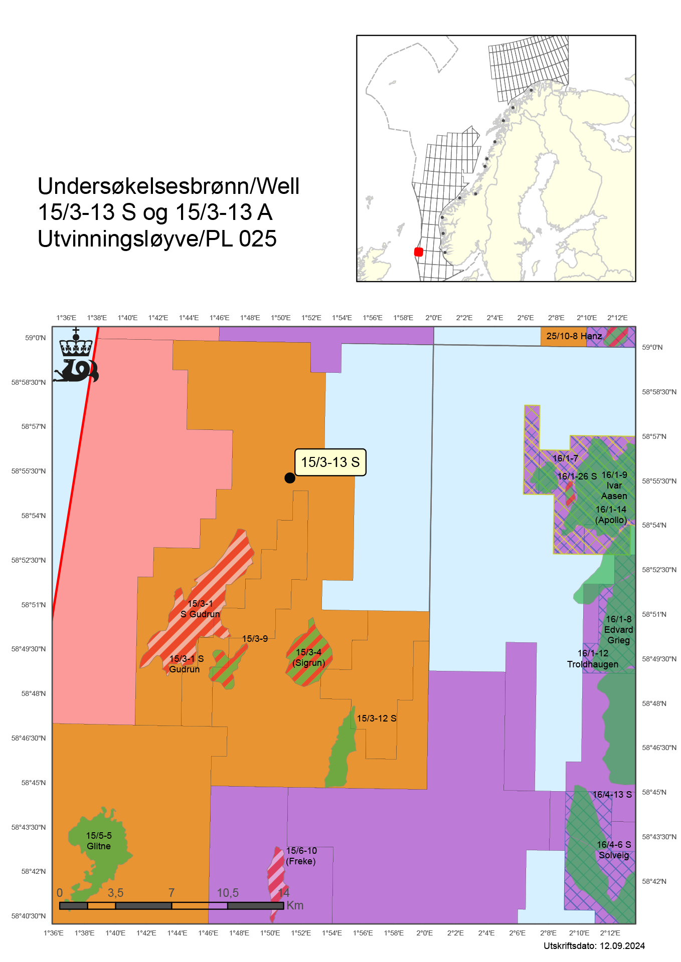
17/09/2024 Equinor and its partners have made an oil and gas discovery in wildcat wells 15/3-13 S and 15/3-13 A on the Gudrun field in the North Sea.
These were exploration wells number 13 and 14 in production licence 025. The drilling was carried out with the Deepsea Stavanger rig.
Preliminary estimates place the size of the discovery between 0.1 and 1.2 million standard cubic metres (Sm3) of recoverable oil equivalent in the intra-Draupne Formation, and between 0.4 and 1.3 million standard cubic metres (Sm3) of recoverable oil equivalent in the Hugin Formation.
The licensees will assess the well results in light of other prospectivity in the area.
Geological information
The well's primary exploration target was to prove petroleum in Late Jurassic reservoir rocks in the intra-Draupne Formation, as well as Middle Jurassic reservoir rocks in the Hugin Formation.
The secondary exploration target was to prove reservoir in Early Cretaceous reservoir rocks in the Rødby Formation.
Well 15/3-13 S encountered thin oil-bearing sandstone layers in the intra-Draupne Formation. The oil/water contact was not encountered. In the Hugin Formation, the well encountered a total of 92 metres of sandstone with poor reservoir properties.
Gas was encountered in two intervals, with respective thicknesses of 8 and 7 metres. The gas/water contact was not encountered.
A sidetrack, 15/3-13 A, was drilled with the objective of delineating the discovery.
15/3-13 A encountered oil in an 85-metre thick interval in the intra-Draupne Formation, a total of 13 metres of which were intermittent sandstone layers with moderate reservoir quality. The oil/water contact was proven 4328 metres below sea level.
15/3-13 A also proved about 100 metres of sandstone with poor reservoir properties in the Hugin Formation. The entire interval was aquiferous, and no gas/water contact was proven.
No reservoir was encountered in the secondary exploration target, the Rødby Formation in the Lower Cretaceous.
The wells were not formation-tested, but extensive data acquisition and sampling were carried out.
Well 15/3-13 S was drilled to respective measured and vertical depths of 4826 metres and 4740 metres below sea level. Well 15/3-13 A was drilled to respective measured and vertical depths of 4900 metres and 4814 metres below sea level. Both wells were terminated in the Sleipner Formation in the Middle Jurassic.
The water depth is 110 metres, and the wells have been permanently plugged and abandoned.

Director Communication, public affairs and emergency response
Updated: 17/09/2024