Continental shelf’s extent outside Bouvet Island clarified

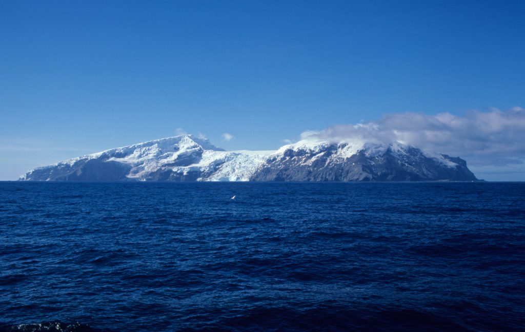
Bouvet island is uninhabited and is the most remote island in the world. Photo: Norwegian Polar Institute.
12/04/2019 Bouvet Island is a Norwegian island situated in the southernmost part of the Atlantic Ocean.
The extent of the continental shelf beyond 200 nautical miles outside Bouvet Island has now been clarified with the Continental Shelf Commission in New York. The Commission’s recommendation is in line with Norway’s proposal submitted to the Commission in 2009 and revised in 2015.
The Ministry of Foreign Affairs led the work on the shelf proposal. The Norwegian Petroleum Directorate, which is the State’s authority charged with geotechnical mapping of the continental shelf, has been responsible for preparing the technical and scientific documentation required by the UN Convention on Law of the Sea. This is primarily documentation based on geology, geophysics and hydrography – disciplines which are part of the NPD’s core expertise.
The comprehensive technical and scientific documentation is based on multiple seasons of data acquisition in the Southern Ocean and around Bouvet Island. The data acquisition was carried out in two periods, 2002 – 2008 and 2014 – 2016, and is based on experience from the work to determine the extent of the Norwegian continental shelf in the Norwegian Sea, the Barents Sea and the Arctic Ocean in the period 1996-2006.
In addition to its own work, the NPD has obtained assistance from several technical authorities. The Norwegian Polar Institute, the Institute of Marine Research and the University of Bergen have assisted in collecting data. This was accomplished by using available ship time on Norwegian, Russian and South African research ships. The Norwegian Hydrographic Service has calculated and quality-assured cartographic data. The University of Oslo has conducted geophysical analyses, which were a crucial element in Norway’s proposal, and also participated in meetings with the Continental Shelf Commission.
“We are very pleased that the technical documentation we submitted has clearly contributed to Norway’s success in this case,” says Director General Bente Nyland.
- Map showing the shelf outside Bouvet Island
- Overview map showing location of Bouvet Island. Yellow line indicates the extent of the continental shelf (basic map data: http://www.ngdc.noaa.gov)
- Link to the Ministry of Foreign Affairs’ press release (in Norwegian)
Updated: 15/04/2019