Pioneering digital effort for increased value creation

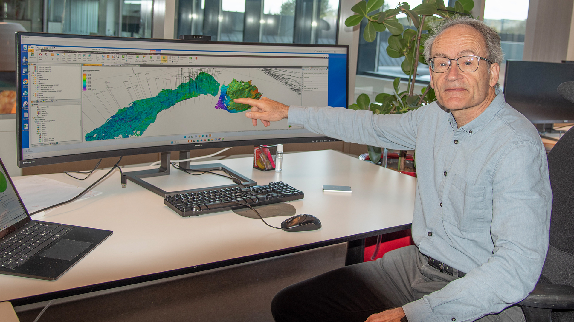
Fridtjof Riis, senior geologist in NPD. Photo: Arne Bjørøen
4/25/2023 The Norwegian Petroleum Directorate (NPD) has started building large-scale regional aquifer models that can be updated on an annual basis.
"Aquifer models can be used when the licensees choose a drainage strategy for discoveries in the development phase. This means that they can avoid major investments in infrastructure for water injection. The models also make it possible to optimise the placement of CO2 injection wells," says senior geologist Fridtjof Riis.
He says it is difficult to give a concrete estimate of savings and value creation, but the aquifer models are intended to support projects with very high value creation.
The aquifer models can be assembled with network models for facilities and pipelines.
In collaboration with consultancy AGR, the NPD is now building models of the Frigg-Heimdal aquifer and the deep aquifer under Troll, where CO2 will be stored in the future. The NPD has conducted its own seismic interpretations and contributed geological knowledge.
There are no concrete plans to build additional models so far, but multiple areas in the Norwegian Sea and the southern part of the North Sea may be relevant. Further development is dependent on interest and participation from the industry. The NPD takes a positive view toward contributing to this, but if so, the companies on the shelf will need to take responsibility for the funding.

The figure shows outlines of aquifer models for Frigg-Heimdal (yellow) and Troll (red).
Large-scale model
The aquifer model of Frigg-Heimdal covers multiple quadrants. It crosses the border to the UK, and includes more than 25 discoveries and pressure-reduced (depleted) fields on the Norwegian and UK sides.
Aquifers can extend over several hundred kilometres, or just a few kilometres. The Frigg aquifer ranges from Sleipner to Martin Linge, and consists of saltwater at a depth of around 2000 metres in sandstone that is 50-60 million years old.
The pressure has dropped by multiple bar throughout this aquifer due to oil and gas production from fields that are in contact with it.
The Troll aquifer model covers Troll, all three CO2 licences there and an area to the south. This model will study migration and pressure influence from surrounding production licences.
The models will be shared
The geological, static part of these models is complete, and the effort to adapt the models with pressure data from wells is under way. The plan is to share models with the industry and academia.
"In our experience, there is significant interest in the industry for using the NPD's models. These models will give the companies a better basis for decision-making as regards drainage strategy and predicting pressure support," says Arne Jacobsen, Assistant Director of Technology, Analyses and Coexistence.
The plan is also to use the models in work related to
- time-critical developments in the North Sea
- blow-down on neighbouring fields and significance for pressure development in the area
- issues linked to transboundary deposits
- CCS (carbon capture and storage) and quantifying production and injection conditions, as CO2 injection depends on a good aquifer model
- better prediction of how CO2 moves (plume movement), thus making it possible to identify future CCS opportunities
The NPD and Force will be organising a seminar about aquifers on 10 May.

The plan is to share models with the industry and academia. Photo: Rune Goa
This is the first time large-scale aquifer models are being made for the Norwegian shelf. Smaller-scale models have been created in connection with the CO2 Atlas, which is published on npd.no.
Oil and gas deposits are in contact with saltwater on the underside, and when hydrocarbons are produced, the saltwater follows. If the hydrocarbons are not replaced with water via injection, the water pressure will drop.
When the licensees are drawing up a production strategy, it's highly useful to have a model for how the water moves around the field and how rapidly the pressure is dropping.
This depends on both the volume of water that is moving and the scope of the obstacles the rock represents for this movement. The total contiguous volume of water that is available is called an aquifer.
Director Communication, public affairs and emergency response
Updated: 4/26/2023